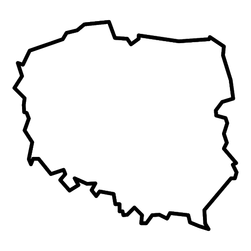
Do you know what the picture above shows? That's right, these are the outlines of a map of our country - Poland. Poland is divided into 16 provinces. The largest of these are the Mazowieckie and Wielkopolskie voivodships. Grab your crayons and colour in the map of Poland. If you know how to do it, you can also mark each province on the map. Good luck.

